About UWF GIS
UWF GeoData Center staff, academic programs, advisory board members and community partners.
About UWF GIS
For more than 10 years, the GeoData Center has participated in collaborative interdisciplinary research for the UWF community and local, nonprofit and private entities in Northwest FL. Our work crosses many disciplines: public health, economics, urban planning, conservation (land and animals), renewable energy, parks and recreation, and natural environments. We use our tools and technologies to help communities prepare for economic, social and climate uncertainties.
UWF has been a leading source for online GIS education. Our expert faculty brings their in-field expertise into the hands-on learning experiences that provide our students with real-world GIS experience. Our Master’s in GIS Administration is an affiliated Professional Science Master’s program.
Faculty
-
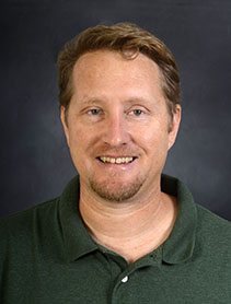 Dr. Derek Morgan
Assistant Professor
-
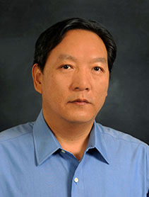 Dr. Zhiyong Hu
Associate Professor
Administration
-
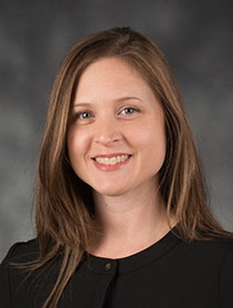 Amber Bloechle
Director
-
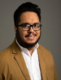 Travis Erickson
GIS Laboratory Manager
-
 Leigh Juedevine
GIS Coordinator
-
 Trisha Holtzclaw
GIS Academic Advisor
Adjuncts
-
 Brian Fulfrost
Instructor
-
 Tanya Gallagher
Instructor
Current Board Members
Rocky S. Agbunag, GISP, St. John's County Public Works, St. Augustine, FL 32084
Keith Cooke, ESRI, Birmingham, AL 32503
Jason Jones, GISP, Florida Power & Light, Pensacola, FL 32520
Tim Milstead, City of Milton, Milton, FL 32570
K. Mark Moore, WSP, Pensacola, FL 32502
Jessica Walton, GISP, Emerald Coast Regional Council, Pensacola, FL 32514
Kristal Cobb Walsh - Florida Fish and Wildlife Conservation Commission, Milton, Florida 32570
Matt Brown - Line-Scape, Fultondale, AL 35068
Our Partners
The GeoData Center is a part of the Hal Marcus College of Science and Engineering. We have a large network of academic partners on and off the campus of UWF.
The interdisciplinary, geospatially-driven nature of our work leads to partnerships with local, state, national, nonprofit, and private entities. Our partnerships rely on the Center's expertise in geospatial analysis, data visualization, and education to help them solve complicated problems across a variety of disciplines.
Community Involvement
The GeoData Center regularly attends local and regional User Group meetings such as the Escambia County GIS User Group, the Northwest Florida GIS User Group, and the Seven Hill Regional User Group (SHRUG). In conjunction with the Northwest Florida GIS User Group meeting, twice a year the GeoData Center hosts an online competition to showcase local GIS digital projects.


