
More than a map—geographic information system (GIS) helps us to answer the question "where?" The UWF GeoData Center guides our partners, students, faculty and staff using geospatial technologies that change the way we view the world. Through collaborative analysis and visualization, we use cutting edge applications of GIS technologies in order to inform and deliver innovative solutions to critical societal issues.
With applications in a wide variety of industries and occupations, our GIS undergraduate and graduate certificates and master’s degree in Geographic Information Science Administration prepare our students to become interdisciplinary data scientists and highly skilled GIS professionals.

UWF is the only University in Florida designated as an Esri Development Center (EDC). The EDC program confers special status and benefits upon a select few leading university departments that challenge their students to develop innovative applications based upon the ArcGIS platform.
Programs
UWF GIS offers undergraduate and graduate certificates as well as a GIS Admin, M.S., that incorporates a business core for career advancement.
GIS ProgramsServices
The UWF GeoData Center leverages the latest geographic data information technology to help our clients make informed decisions that solve complex problems.
ServicesPortfolio
UWF GeoData Center and GIS student research and projects showcase the creation of maps, software applications and code, and other geospatial tools.
PortfolioFeatured UWF GIS Research and Announcements

GIS student Taylor Smith will be leading a workshop at this year’s National Hurricane Conference with Dr. Derek Morgan. Using field observations conducted during a 2024 Florida Sea Grant project and an integrated geospatial approach to analyze how SLR-driven shoreline transformation affects land-use composition and coastal viewsheds over time.
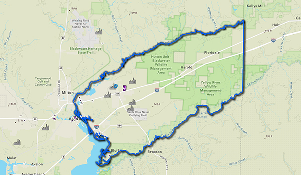
Dylan Anderson, online GIS Administration M.S. graduate, partnered with the Santa Rosa County Board of County Commissioners for the East Milton Master Plan. Using geographic information systems (GIS) to analyze spatial patterns and planning factors, and inform urban planning decisions and infrastructure, transportation and land-use strategies.
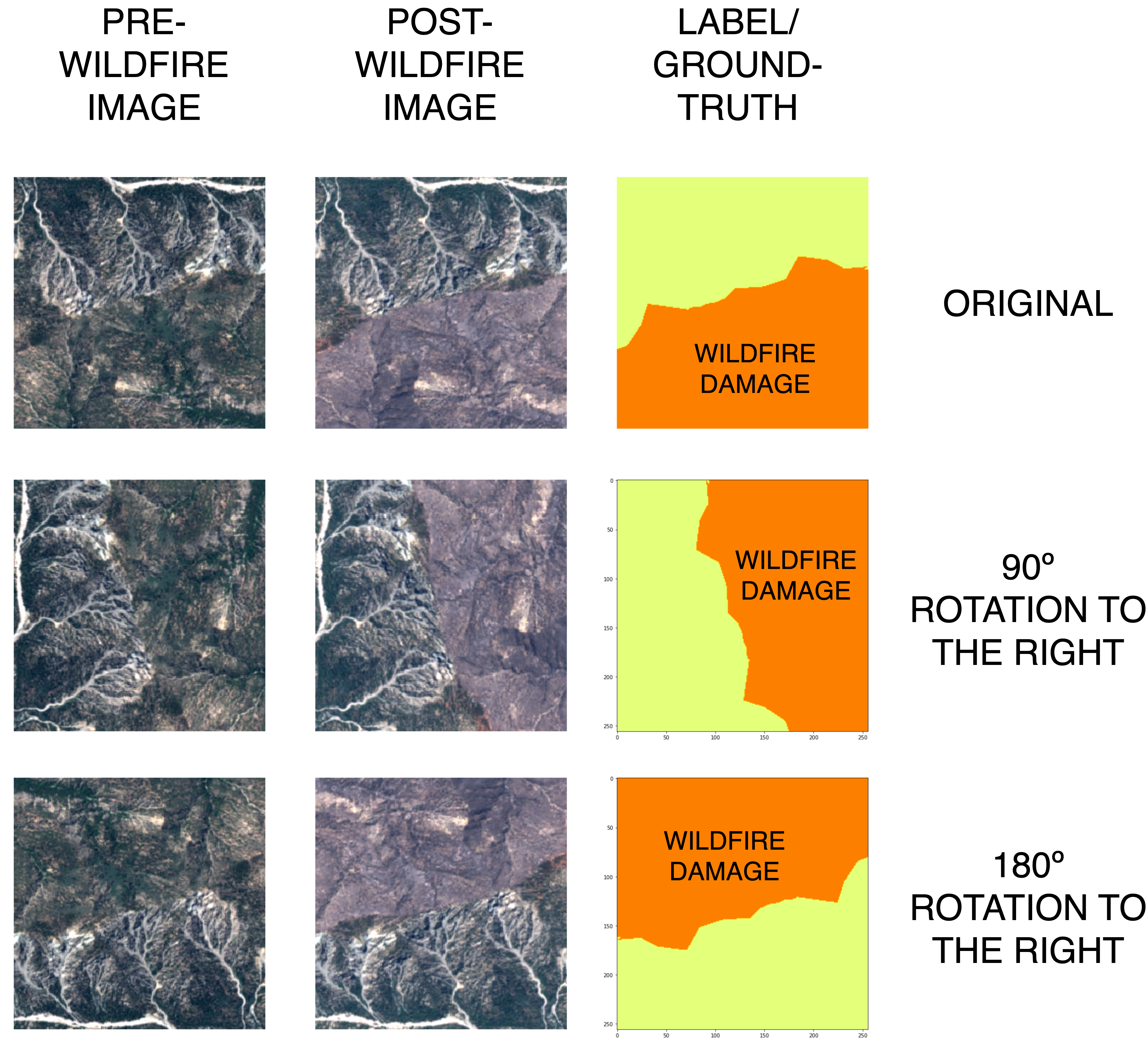
UWF student Valeria Martin presents a Python-based approach for detecting wildfires using deep learning and high-resolution satellite imagery. This research offers valuable contributions to wildfire detection, geospatial data science, and the broader field of remote sensing for environmental applications.
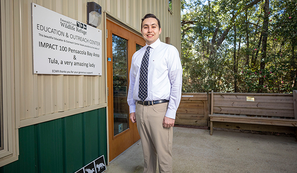
Recent graduate James “Brian” Barnes put his UWF education in geographic information science to good use by helping the Emerald Coast Wildlife Refuge (ECWR) uncover trends on rescued wildlife in Northwest Florida. The results from his Fall 2024 semester capstone project are providing a better understanding on several topics.


