Geographic information science is revolutionizing many disciplines, including the environmental sciences, business, the military and public health. Let UWF's affordable GIS program give you marketable expertise in this exciting field.
Why Study Geographic Information Science at UWF?
GIS has very many applications, not just in environmental science, but in almost all other disciplines.
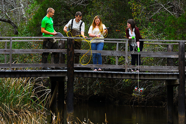
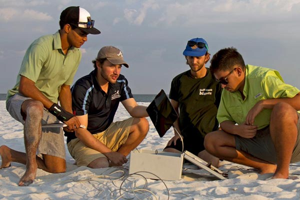
At UWF, you will have access to the latest technology in our state-of-the-art GeoData Center. You will benefit from small classes, personal attention from our dedicated and experienced faculty and opportunities for hands-on research and learning.
What You Will Learn
We offer an interdisciplinary approach, and you will be able to apply what you learn in many different areas. You will gain a solid background in the fundamentals of geography and geospatial science that extends beyond GIS software.
You will learn basic GIS and remote sensing concepts and software skills, how to think spatially, how to design maps, how to conduct spatial analysis and how to create web maps and dashboards. You will take part in research, with relevant and up-to-date content using ArcGIS Pro.
Courses and a required internship have been carefully combined to reflect real-world workforce requirements. You will better understand what is happening behind the scenes in the software and become more efficient at work. After completing this program, you can expect to be marketable in numerous industries.
UWF offers classes through various delivery methods, including face-to-face, hybrid, and online. Though UWF makes every effort to provide on-campus classes in face-to-face programs, there is a possibility that some classes will have limited availability and may be offered online only. For more information, review the modes of delivery and instructional methods.