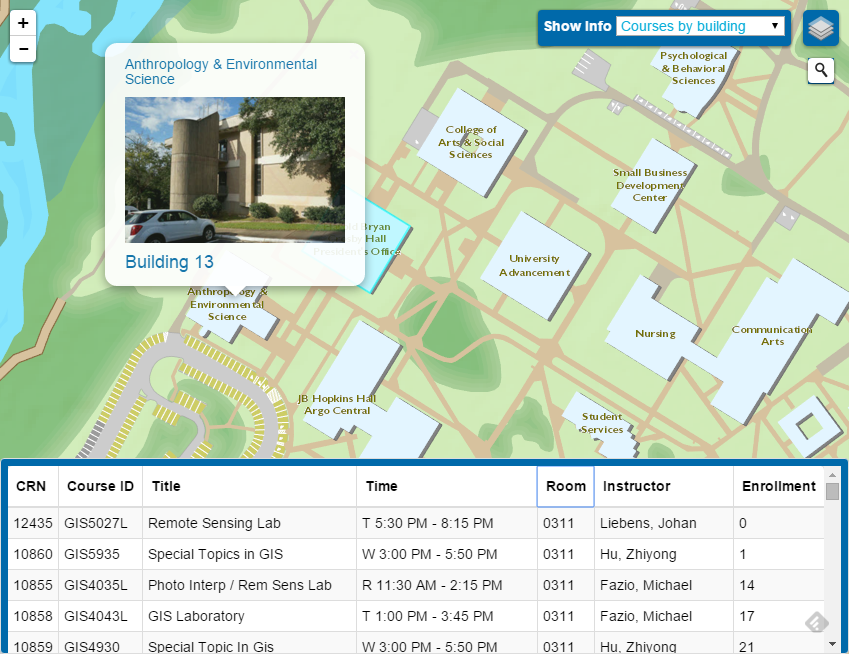
UWF GIS Campus Map Project
The UWF Interactive Campus Web-GIS is a project by the UWF GeoData Center to promote use of GeoSpatial technology and to raise awareness of the geography of our 1600+ acre campus.

Version 2.0 beta
- Mobile enabled
- Simpler user interface
- Redesigned basemap
- Updated information
- More coming soon!
Environmental Studies students performed much of the initial work in building the application and anyone is welcome to contribute.
Contributing
Contributing additional layers or functionality to the map is encouraged! Student organizations, courses, departments, or individuals are all welcome to collect and organize information for the map or to lend programming expertise to the application.
Credits
Thanks to the following Environmental Studies students for performing much of the work in organizing the basemap data, building the initial application, performing updates and assisting with the recent redesign.
- Joshua Jackson
- David Ludwig
- Aaron Craker
- Zackary Leady
- Emily Harris
For more information contact Deidra Krolikowski [dkrolikowski@uwf.edu].


