SEDAAG 2015 Meeting GeoProgram
UWF hosted the 2015 annual meeting of the Southeastern Division of the Association of American Geographers in Pensacola. This web-GIS application is an experiment in creating a geospatial conference agenda using the ArcGIS platform.
Features and capabilities:
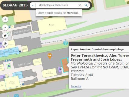
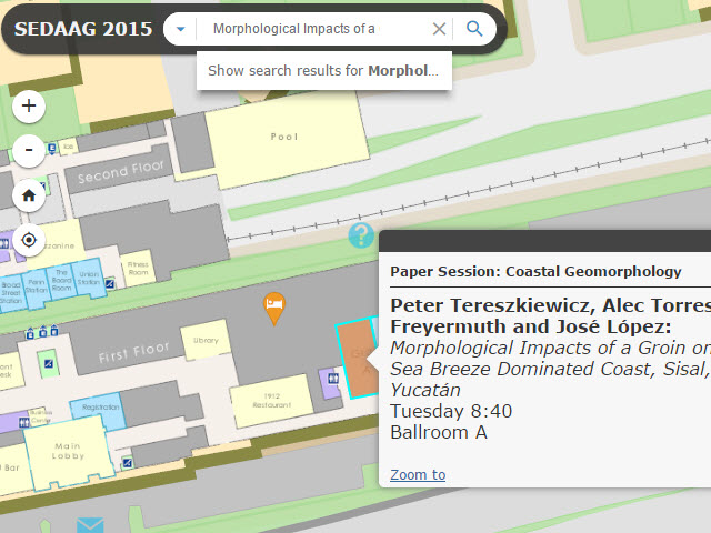
- Spatially browse sessions by room.
- Search agenda presentations and authors.
- Navigate the conference hotel and downtown Pensacola.
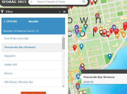
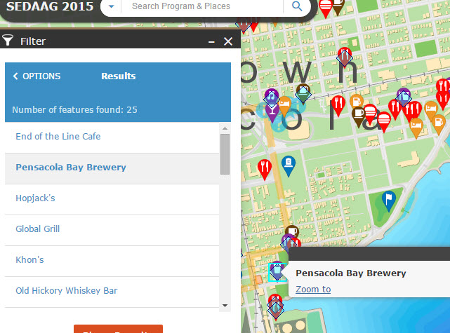
- Find local restaurants and attractions by location.
- Filter local amenities by type and criteria.
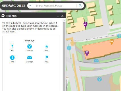
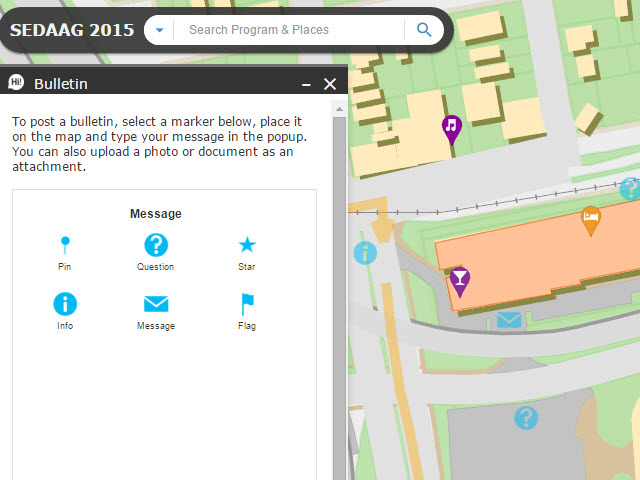
- Post and read "Spatial Bulletin" messages.
- Go to bookmarked points of interest.
- Overlay results of local research projects or other information.
Application built by Nathan McKinney using ESRI ArcGIS Server, ArcGIS Online, JavaScript API and Web AppBuilder Developer Edition.


