


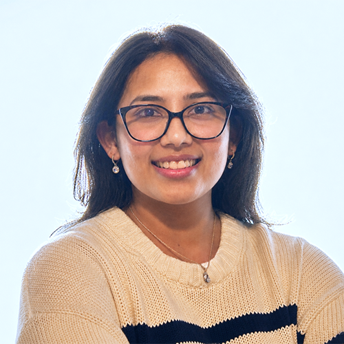
Asmita Karki
M.S. in Earth & Environmental Science, '26
Research Happens Here
I chose UWF because of its strong focus on environmental science and the opportunity to apply geospatial technologies to real-world environmental problems. Coming from a geomatics engineering background, I wanted to expand my knowledge beyond mapping and surveying and understand how geographic information systems, or GIS, and remote sensing can be used to study environmental change and support better planning and decision-making. UWF has given me the opportunity to do that through both coursework and hands-on research.
My research project, titled Modeling Land Use/Cover Changes in the Pensacola Metropolitan Area Using CA-Markov and Machine Learning Techniques, examines how the Pensacola landscape changed from 2006 to 2021 to better understand what these areas may look like in 2030 and 2040. In simple terms, machine learning allowed me to use satellite imagery to identify different types of land, such as forests, water, agriculture, wetlands and developed areas. CA-Markov, a modeling approach that uses historical patterns of land-use change to estimate how those patterns may continue, helped me analyze how land has changed, where future changes are most likely to occur, and how much land may be converted from one land-use type to another.
Using these methods, I created maps showing not only potential urban growth in the Pensacola metropolitan area for 2030 and 2040, but also the locations where development is more likely to occur and the estimated quantity of land that may experience these changes. With the help of Dr. Zhiyong Hu, professor in the Department of Earth and Environmental Sciences, I was able to use the past to understand what the future of this community might look like and provide meaningful data to city and county planners, transportation agencies, infrastructure managers and local communities as they prepare for future housing, roads, utilities and public services while protecting important natural areas.
Dr. Hu was my thesis advisor and a very important mentor throughout my research. His guidance helped me turn my ideas into a meaningful research project about the future growth of the community I have come to call home. I now pay it forward by serving as a course instructor, working with students on practical GIS skills, including mapping, spatial analysis, and using GIS software. Teaching at UWF has been especially meaningful to me because I get to share the skills I have developed through my own education and research with other students.
In the summer of 2025, I gained valuable professional experience as a GIS and Sustainability Intern at SWCA Environmental Consultants. This summer, I began a new role as a Design Technician I at Florida Power & Light. In this position, I apply what I have learned in the classroom and through my research to real-world challenges, working with engineering and GIS data to help maintain and update electric utility infrastructure records. These experiences have allowed me to see how the skills I developed at UWF can be applied beyond the classroom to support communities and essential infrastructure. My hope is that my research, teaching and professional experiences can contribute to conversations about responsible development, environmental protection and the future of the community I have come to call home.